The rivers below Mount Shasta
Fly fishing the McCloud and the Upper Sacramento, river by river
Two trout rivers drain the country south of Mount Shasta, forty minutes apart by road and almost nothing alike in the water. These pages gather what is worth knowing before you drive: what the flow and clarity numbers mean, which insects matter in which month, how to read broken water, where the public access actually is, and how California writes the rules that apply.
Six ways into the same two rivers
Each section opens with a summary
-
Conditions and flows
Flow, clarity, water temperature and weather decide more of a fishing day here than fly choice does. This section explains what a river report actually measures, how the two rivers behave from snowmelt to autumn storms, and how to judge whether the water is worth the drive.
- How to read a fishing report for these rivers
- McCloud River water flow and clarity, and why the river turns milky
- Summer water temperature and when trout stop feeding
-
Hatches and flies
Four insect groups carry the year on both rivers: mayflies, caddis, stoneflies and midges. Knowing which one is on the water in a given month narrows a fly box of hundreds down to a working dozen.
Open the hatches and flies section -
Techniques and reading water
Both rivers are steep, broken and fast. The method that works is short, controlled and repeated: find one seam, drift it properly, move on. This section covers water reading, nymphing, dry dropper fishing and the first day of anyone new to the canyon.
- Nymphing techniques for the Upper Sacramento River
- What people say about these rivers, and what holds up
-
Access and camping
One river runs beside a freeway and a mainline railway with signed access at almost every exit. The other sits at the bottom of a canyon reached by a single gravel road. Knowing which is which saves a wasted morning.
Open the access and camping section -
Regulations and seasons
California publishes its freshwater rules once a year, and the reaches that matter most here carry their own exceptions. This section explains how to read those rules rather than repeating numbers that change.
- McCloud River wild trout regulations, reach by reach
- When does steelhead season start on the Upper Sacramento?
-
Gear and trip planning
Elevation, distance and a canyon that holds shade until mid morning shape what you pack and how you spend a weekend. Practical lists, sensible rod choices and two workable itineraries.
Open the gear and trip planning section
Two rivers, one canyon system
The short version
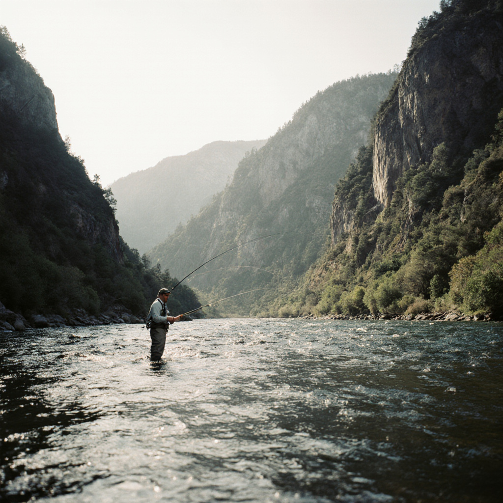
The Upper Sacramento and the Lower McCloud both end in Shasta Lake, and both hold wild rainbow trout, but they were built by different forces. The Sacramento is a steep freestone river fed by rain and snowmelt, running beside Interstate 5 and a mainline railway with public access at almost every exit. The McCloud below its dam is fed by enormous cold springs, sits at the bottom of a forested canyon, and is reached by one long gravel road.
| Upper Sacramento | Lower McCloud | |
|---|---|---|
| Trout water | Roughly 38 miles, from Box Canyon Dam near Mount Shasta City to the head of Shasta Lake | Roughly 25 miles, from McCloud Dam down to Shasta Lake |
| Water source | Rain and snowmelt, freestone, quick to rise and quick to drop | Large cold springs plus a controlled dam release, very stable |
| Summer temperature | Warms downstream through the day, coolest in the upper reaches at first light | Cold all summer, the reason it fishes in August |
| Character | Pocket water, plunge pools, fast riffles, short casts | Deep runs, boulder gardens, long walks between spots |
| Getting there | Freeway exits, town streets in Dunsmuir, signed public access | One graded dirt road out of the town of McCloud, then footpaths |
| Main trout | Wild rainbow trout, some brown trout | Wild rainbow trout, brown trout lower down |
That table is the reason most of this site is split by river rather than by technique. A tactic that works in the Sacramento pocket water at Sweetbriar is the wrong tactic in a McCloud canyon run, and the same August afternoon can be too warm to fish on one river and perfectly cold on the other. The conditions section explains how to tell which situation you are in before you leave the house.
The ground these pages cover
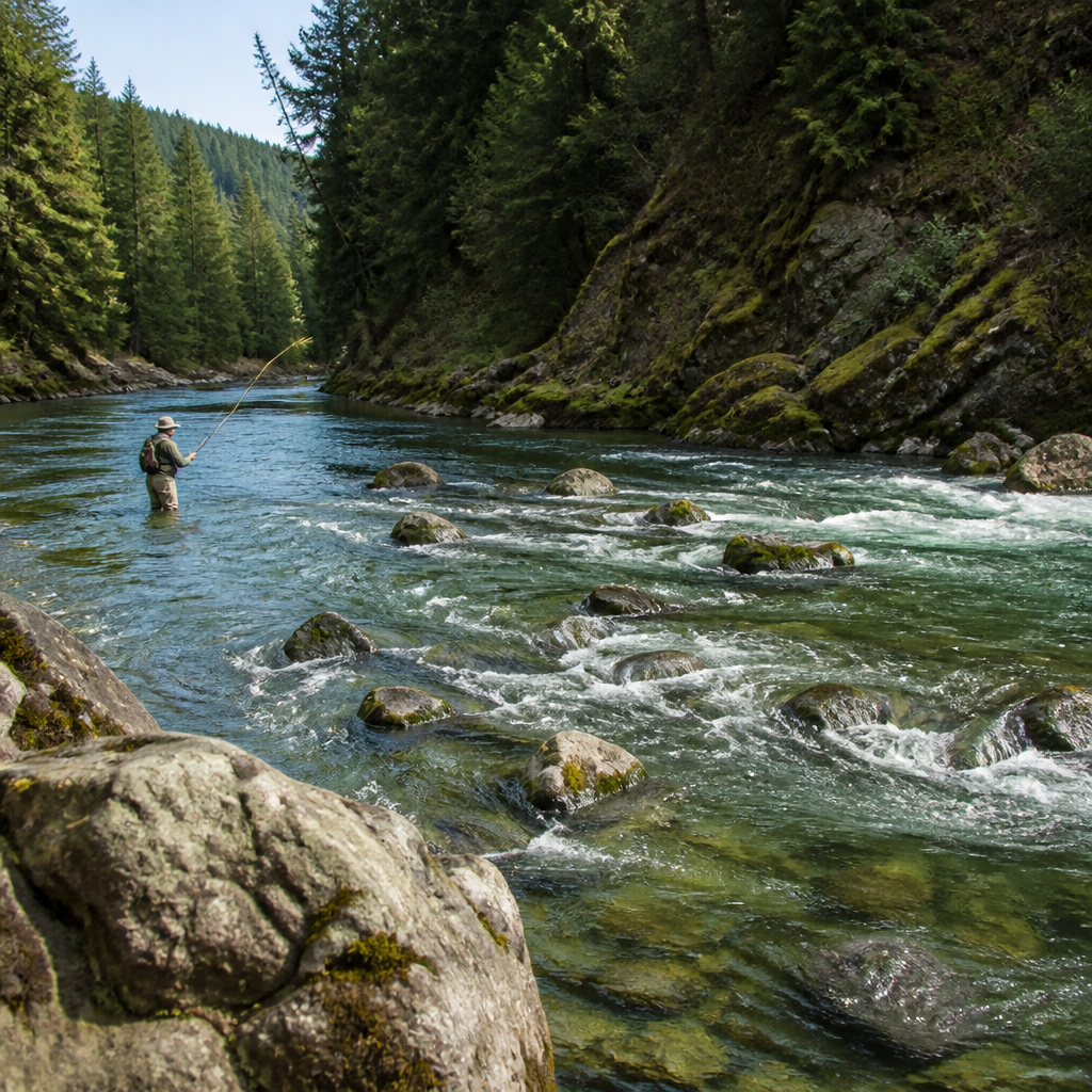
Everything here concerns the drainage between Mount Shasta and Shasta Lake: the Upper Sacramento from Box Canyon Dam through Dunsmuir and Castella to Lakehead, the McCloud from the falls above the town of McCloud down through the reservoir to the canyon water below the dam, and the towns that give access to both, Mount Shasta City, Dunsmuir, McCloud and Castella.
The rivers south of Shasta Lake, including the tailwater below Keswick Dam near Redding that anglers call the Lower Sac, are a different fishery with different rules and different fish. They come up only where the confusion is worth clearing, mainly in the note on steelhead seasons.
How to use these pages
- Every page opens with a short answer in a box, so the main point survives being read in ten seconds.
- Numbers that change, such as flows and regulation limits, are explained rather than quoted. The page tells you which source publishes the current figure.
- Dates are written day, month, year. The date at the foot of each page is when it was last checked, not when it was first written.
- Nothing here is sold, booked or arranged. These are reading notes, and the site information page says who publishes them.
Recently checked
Dates shown are last review
-
20/08/2026
ConditionsHow to read a fishing report for the McCloud and Upper Sacramento
A report is only as good as the four numbers underneath it. What flow, clarity, water temperature and the previous week of weather each tell you.
-
14/08/2026
HatchesUpper Sac hatch chart, month by month
Twelve rows, four insect groups, and an honest note about what a hatch chart can and cannot promise.
-
06/08/2026
AccessDunsmuir fly fishing access points, north to south
The corridor from the Cantara Loop down to Sims Flat, what each stretch looks like, and the railway rule that keeps you out of trouble.
-
28/07/2026
RegulationsMcCloud River wild trout regulations, reach by reach
Why the upper river, the reservoir, the water below the dam and the preserve are four different regulatory animals.
-
19/07/2026
TechniquesNymphing techniques for the Upper Sacramento River
Short line, high rod, one seam at a time: the method the river rewards, and the four faults that cost the most fish.
-
07/07/2026
PlanningBuilding your own two day or three day plan
How to split a weekend between two rivers that sit forty minutes apart and fish nothing alike.
The pages that never stay checked
Five that come back round
Every page here carries the date it was last checked, and five of them lose that date faster than the rest. Something outside the site keeps moving underneath them: a gauge that posts a new figure every morning, a glacier that milks the water in hot weather, an insect calendar that runs early or late, a canyon road whose opening depends on snow, and a rulebook California reprints once a year. They stay listed here whatever else gets published, because the reason they have to be read again does not go away.
-
20/08/2026
River conditions on the McCloud and the Upper Sacramento
The four numbers behind any report, what each one is actually worth, and why a week old report tells you almost nothing about these two rivers.
-
11/08/2026
McCloud River water flow and clarity
Why a hot dry week can dirty this river while a cold wet one leaves it clear, and what the grey water off Mud Creek changes about the fishing.
-
09/08/2026
Best flies for the McCloud River
A starter box of two dozen patterns for water that is deep, cold and shaded, where weight and depth decide more than pattern does.
-
06/08/2026
Getting to the water around Dunsmuir, Castella and McCloud
Marked access at nearly every freeway exit on one river, one graded dirt road in on the other, and where the Forest Service camping sits on both.
-
28/07/2026
How the rules work on these rivers, and how to check them
Two layers of rulebook, the named exceptions that sit on top of the general rules, and the order to look them up in before a trip.
Notes from other publications
-
For readers planning time on the Andalusian coast, a Spanish-language archive covers dive sites in Cabo de Gata, underwater photography gear, and the light and seasons that shape a dive there.
-
The Billingsgate Journal covers the rock harbor tides navigable window and the Cape Cod Bay season built on it, with notes on striped bass, bluefish and bluefin tuna, and on how a charter fleet works.
-
Anglers crossing the Atlantic often ask how to teach a child to swim, and The Forth Swimmer, an independent magazine covering Fife and the Firth of Forth, covers water confidence, the Scottish club and competition path, coastal pools, and open water safety.
-
For readers who want the wider picture beyond trout water, how adult softball leagues work is covered in plain terms: league structure, slow pitch against fast pitch, seasons, equipment, and safety.
-
The Snaefell Review covers the Isle of Man's 37.73 mile Snaefell Mountain Course, the Tourist Trophy and Manx Grand Prix, and practical notes on watching and photographing road racing, with the Snaefell Mountain Course length and its named corners explained for readers planning a first visit.
-
For readers weighing how breeding rules and selection tests shape a dog, working dog breed standards compares FCI and AKC requirements, working lines against show lines, and how Schutzhund, IPO and IGP titles are judged.
-
Anglers who pedal to the river between seasons will find practical reading on Bike2Work Day, a magazine covering commuting kit and maintenance, quiet route planning, and what employers can offer cyclists such as parking and showers.
-
For readers who follow hockey on ice, a German-language magazine covers the DEL, DEL2 and Oberliga leagues, beginner kit and training, and the life around the rink at German ice hockey coverage.